Worth seeing places in Romania: The mountains
Worth seeing places in Romania - The Mountains
In the previous article I have started to write about the place that I consider worth visiting in Romania focusing on the medieval cities of Transylvania and Banat.
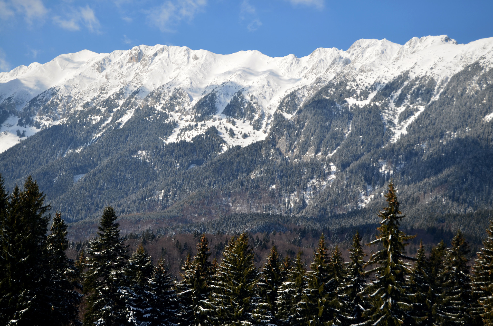
Now is time to offer information about my favorite places that Romania has: The Mountains.
Whenever I think about Romania’s mountains I get the chills and I feel like I am the most fortunate and blessed human in this world. I have discovered that the mountains give me what I love the most: a wonderful nature, full of beauty, like, authenticity and meaning.
Short introduction into Romania’s mountains
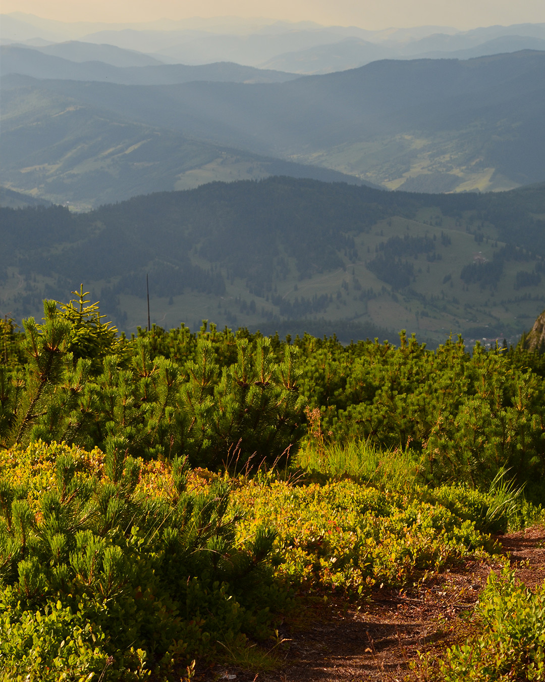
The Carpathians Mountains are spread over a large part of my home country, and actually 51% of their entire territory is found here, in Romania. Seen from up high, The Carpathians create an arch surrounding the famous historical region of Transylvania from north to south and west. For a better understanding, is good to know that the mountains are divided into 3 major groups:
- Oriental Carpathians - starting in the north at the Ukrainian border
- Southern Carpathians - dominating the south region
- Romanian Western Carpathians - neighboring Serbia to the west and The Danube river and going up north to the Bihor region
All of these groups are also splitted into smaller units according to the geological differences, but for the beginning is helpful to remember the 3 main groups.
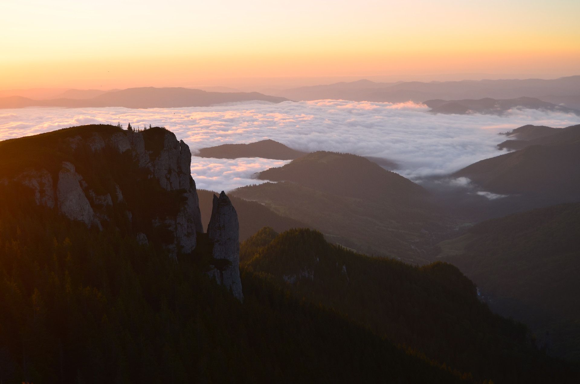
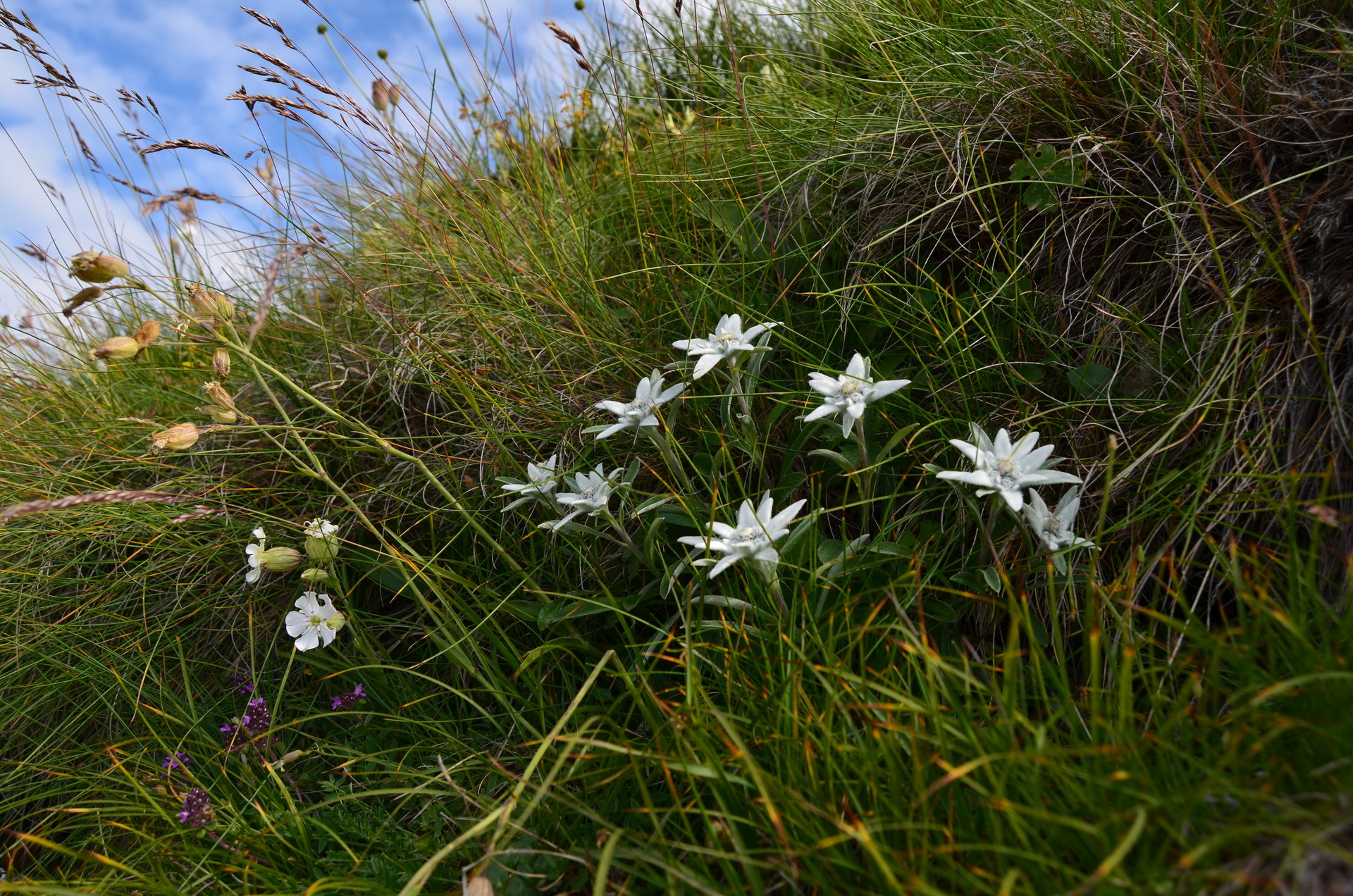
The importance and the wonderfulness of the Carpathians is given by the many types of rocks from volcanic to crystalline or glaciers stones, ways of formation, ecosystems including a rich wildlife with flora and fauna of which some animals and plants are unique or even endangered being protected by law - like the lynx, the black goat, the Edelweiss, the Rhododendron - rivers and natural lakes, the gathering of these creating spectacular landscapes defined by beauty, wonder, danger and mystery.
What can people do in all of these mountains?
The most suitable activities people can do in The Carpathians are linked with the ecotourism. Hiking, trail running and mountain biking are probably the most sustainable things for keeping the nature as healthy and intact as possible.
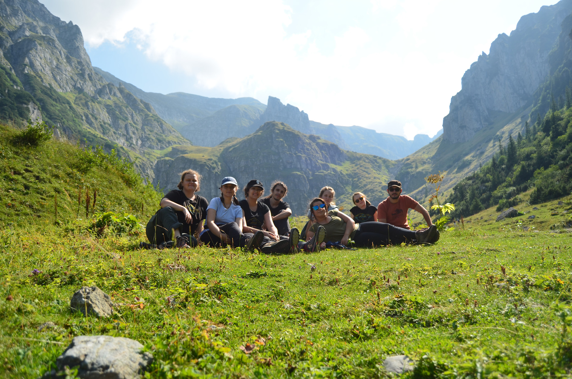
I believe that these are the ways in which the mountain regions should be exploited and that’s why I chose to promote especially hiking. I am a hiker myself and I find it fair to write about the things I know more about from my own experience. Plus, I have the belief that a true traveler is a hiker and vice versa.
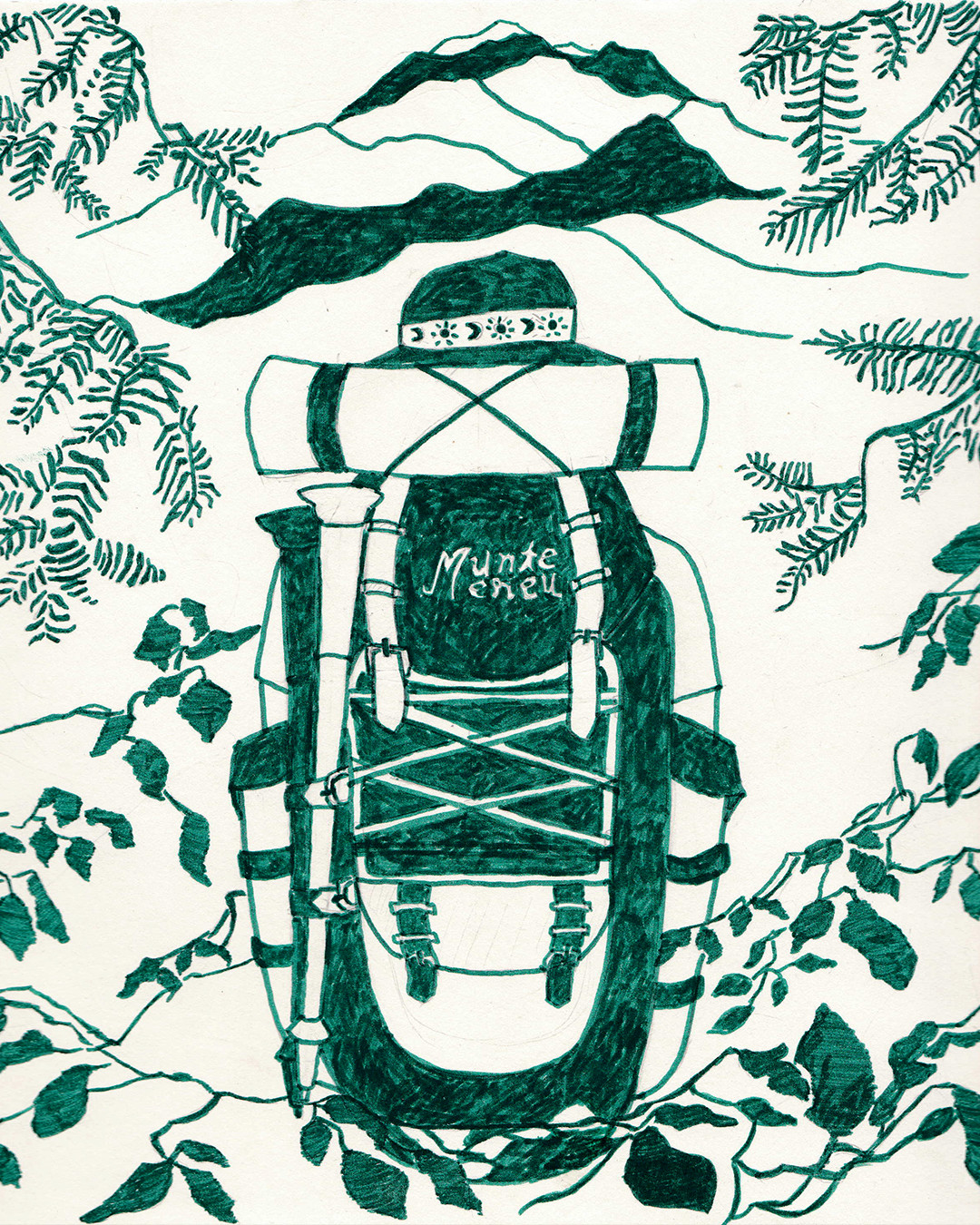
The freedom of wonder that I get from nature is the supreme feeling that a human can take out of this twisted contemporary world.
Understanding the hiking trails and how to read the romanian tourist markings
In the Carpathians, there are lots and lots of official and approved hiking routes. A website where you can find information about all of the hiking routes is called “Munții Noștri”. They also have an app with maps of the mountains including the official tourist routes. The app works as a GPS too meaning that while you are on a trail you can find your position in the terrain.
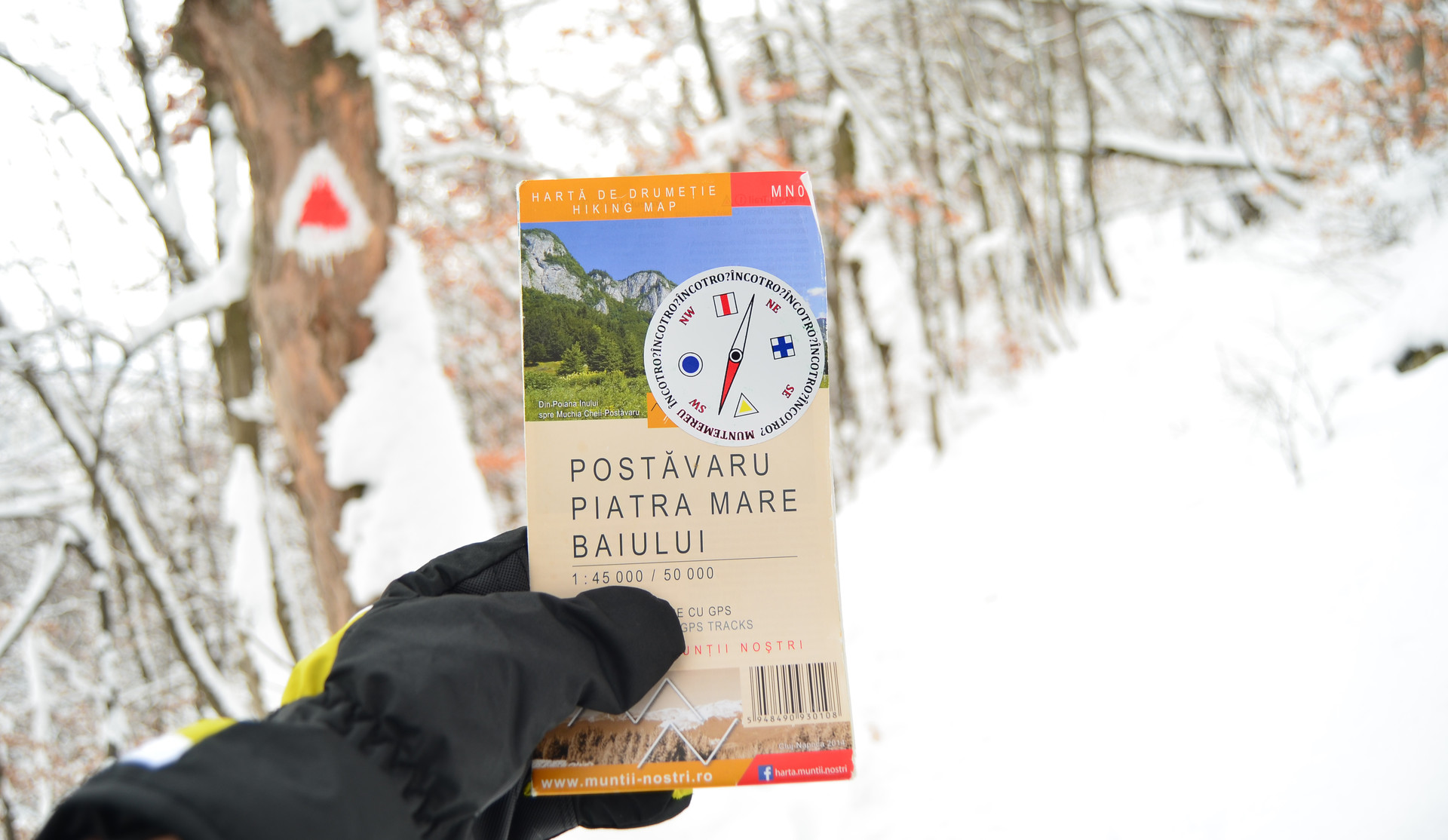
There are a few tourist markings that people who want to start hiking into Romania’s mountains should get used to:
- the “line” indicator - used to mark the main ridge tracks.
- the “cross” - used to show intersections, connection of routes, usually this one gets into the main route symboled by the “line”.
- the “triangle” - used to show secondary routes, valleys and the road to a mountain peak.
- the “dot” or “circle” - used for routes in the circuit.
- the “point in double circles” - is used to mark round trips ( circuit routes ).
- the “red square”- not used for routes themselves, but to delimit the reservation area like the natural or national parks.
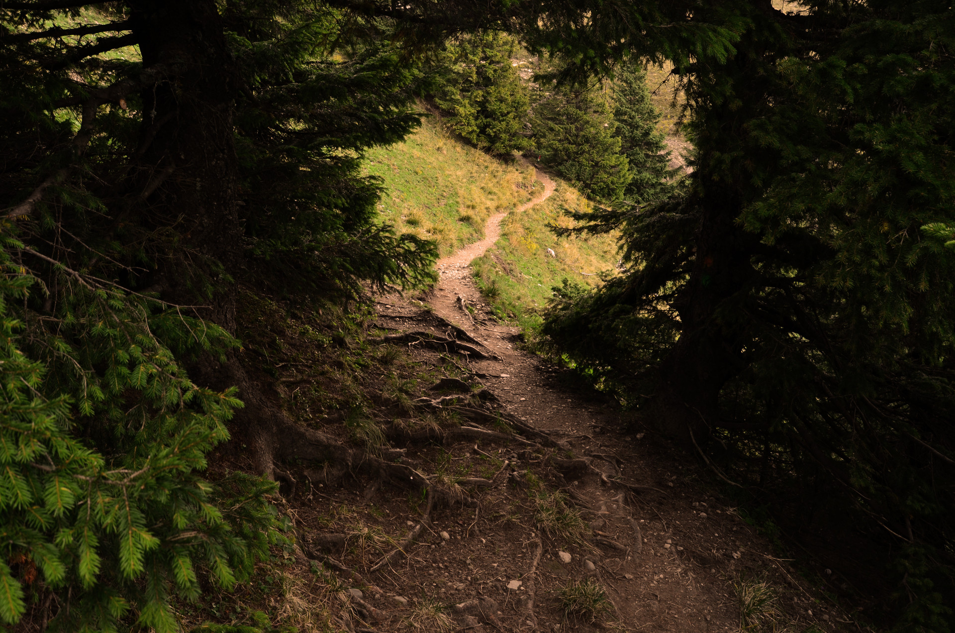
All of these tourist markings, apart from the last one, can be found in 3 colors: red, yellow and blue. You can remember it as the colors of the romanian flag.
When you go hiking a strong recommendation is to always follow the above indicators - depending on the route you take - and to not get away from the official tourist markings, otherwise you can put yourself in danger, wandering or encountering wild animals.
Particularly, in the areas where is written: “Attention, area frequented by bears”, (in Romanian: “Atenție, zonă frecventată de urși”). It is highly suggested for hikers to not deviate from the routes.
Where to start? How to start?
After you have choseN the mountain you want to hike on, for the safety of the trip it is better to also inform yourself about the following aspects:
- the condition of the hiking track - in this regard you can call the National Mountain Rescue that covers the area in which you are interested and ask for information about the available trails. At the same time, you can receive help from The Tourist Information Center present either at a park’s entrance or in the closest city to the mountain. On facebook there are a few active mountain groups with people open to answer trekking related questions - one of it is called “Nu sunt singur pe munte” ( "I am not alone on the mountain" ).
- the weather forecast - keep in mind that on the mountain the weather is changing all the time and extremely dangerous situations can occur.
- the roads leading to the starting point of the hiking track - is good to inform about how far you can go with a car, a bus, a train, a bike until you reach the beginning of your desired destination; for cars, a good app used pretty much by the romanian drivers is Waze - the app would lead you only to roads that are in a good condition and would show the closed roads, dangers, detours and so on. Google Maps is a good alternative, too.
- places for accommodation
- sources of water - it is very good to know if there are any water sources on the tracks, so you can prepare yourself in regards to that.
The mountain huts and refugees
Speaking of the last aspect, in Romania’s mountains are found huts of high and low altitude and refugees. Usually, hikers prefer to stop for eating, drinking, resting, charging batteries or overnight sleeping in the mountain huts located on the tourist tracks.
People who plan to sleep at a mountain hut should make a reservation in advance especially if they are travelling in the weekends to be sure that there will be enough room for everyone. The prices for accommodation are very cheap, mostly going from 40 to 80 lei.
The mountain refugees are special places where people should take shelter only when they are in danger because of bad weather conditions, wandering, physical exhaustion or injury, failure to continue the route due to the darkness.
My favorite mountains I have been to in Romania
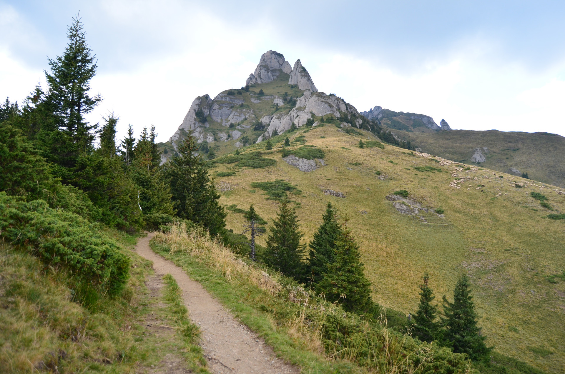
Situated in the south of the Oriental Carpathians, Ciucaș Mountains are probably my favorite mountains I have been to in my country. The hiking tracks start from Cheia a small village. The transportation to Cheia can be done mainly with a personal car. There is no bus coming from Brașov or any other closer region.
A train is arriving to Măneciu, a village located at about 20 kilometers away from Cheia. On the internet I found out that there is a bus coming 4 times a day from Bucharest, but I cannot bet on that. The roads are well maintained, but the access can be done only by car.
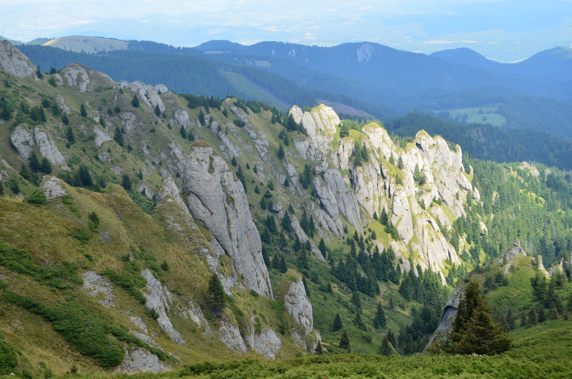
The hiking trails are suitable for people with a medium and high level of physical preparation. The highest peaks are Ciucaș with an altitude of 1954 meters and Gropoșoarele peak measuring 1883 meters. Even if Gropoșoarele is a bit smaller than Ciucaș, the hiking route from Cheia to the peak is harder than the track going to Ciucaș peak.
In Cheia, you can find accommodation at many tourist houses. On the mountain, there are 2 huts: Muntele Roșu and Vârful Ciucaș. The last one is the most known one, being a very good kept hut with sleeping rooms and a restaurant. The cottage is found at the altitude of 1595 meters and almost every hiker stops here for a bit of resting before climbing the Ciucaș peak.
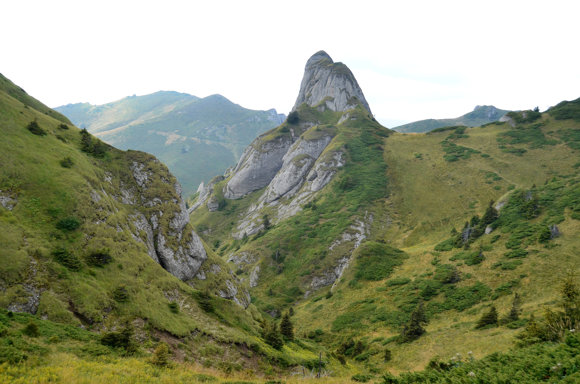
Ciucaș Mountains impress me with their weird but wonderful rock formations that have very strange names as “Babele la sfat” ( The old ladies giving advice ), “Tigăile mici”, Tigăile mari” ( The small pans, The big pans ), “Turnul lui Goliat” ( The Tower of Goliat ), “Mâna Dracului”( The hand of the devil ) - all of these being the main tourist attractions.
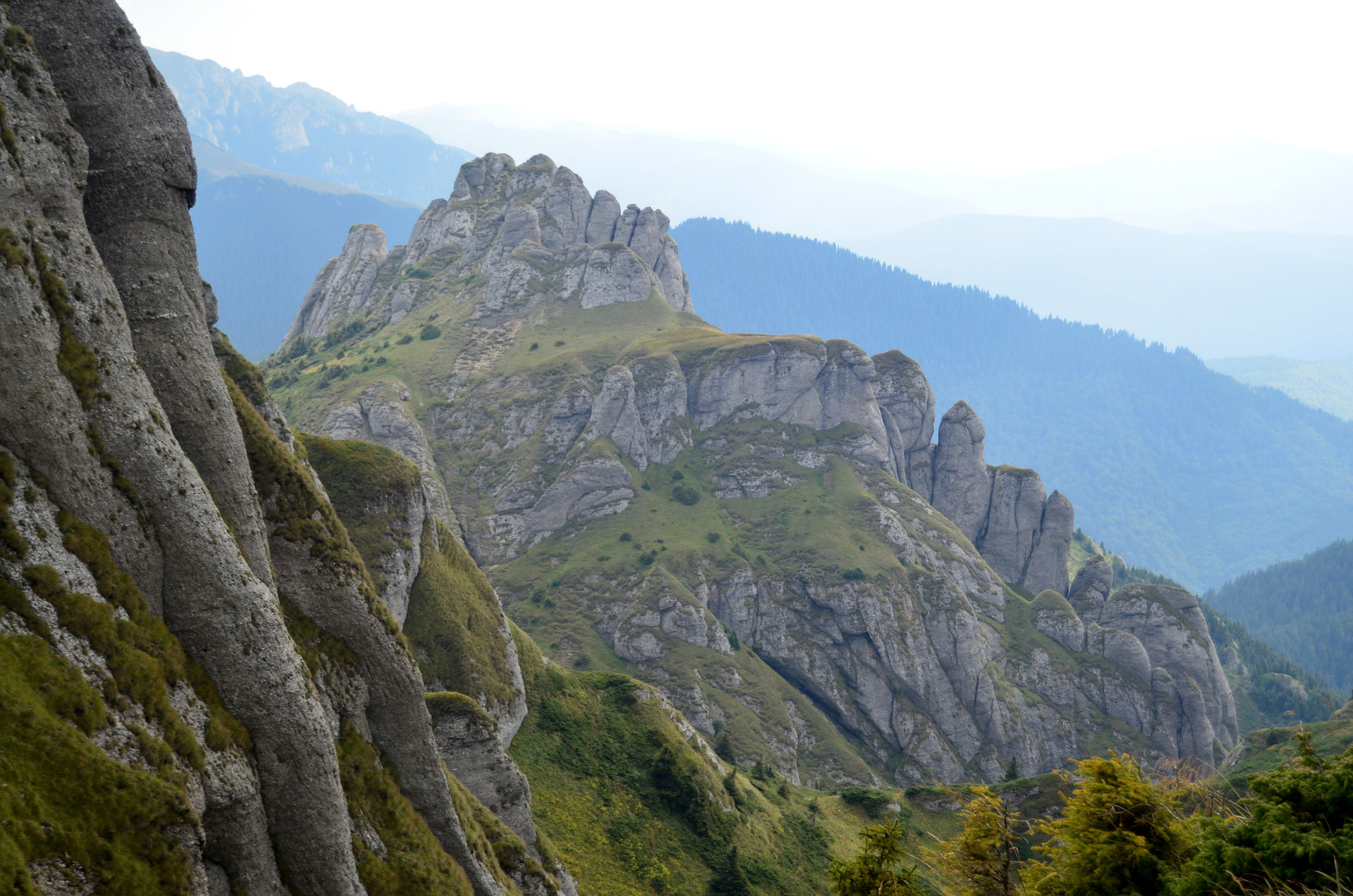
The landscape created by the towers like relief is spectacular and so unique. Ciucaș looks from afar like a large fortress with defense towers. Among the large rock formations, there are many green areas housing a wide variety of plant species like the edelweiss, juniper trees and rhodondendron,and animals such as the black goat, the wild cat and the eagle. In the late summer and the beginning of autumn, the meadows are rich in delicious blueberries.
In the first weekend of september, Ciucaș Mountain welcomes the trail runners at one of the biggest and best organised trail running contest, namely, Ciucaș X3.
Ceahlău Mountains are also on my list of the favorites I have been to in Romania. In my mind, the memories about this mountain are filled with the green color.
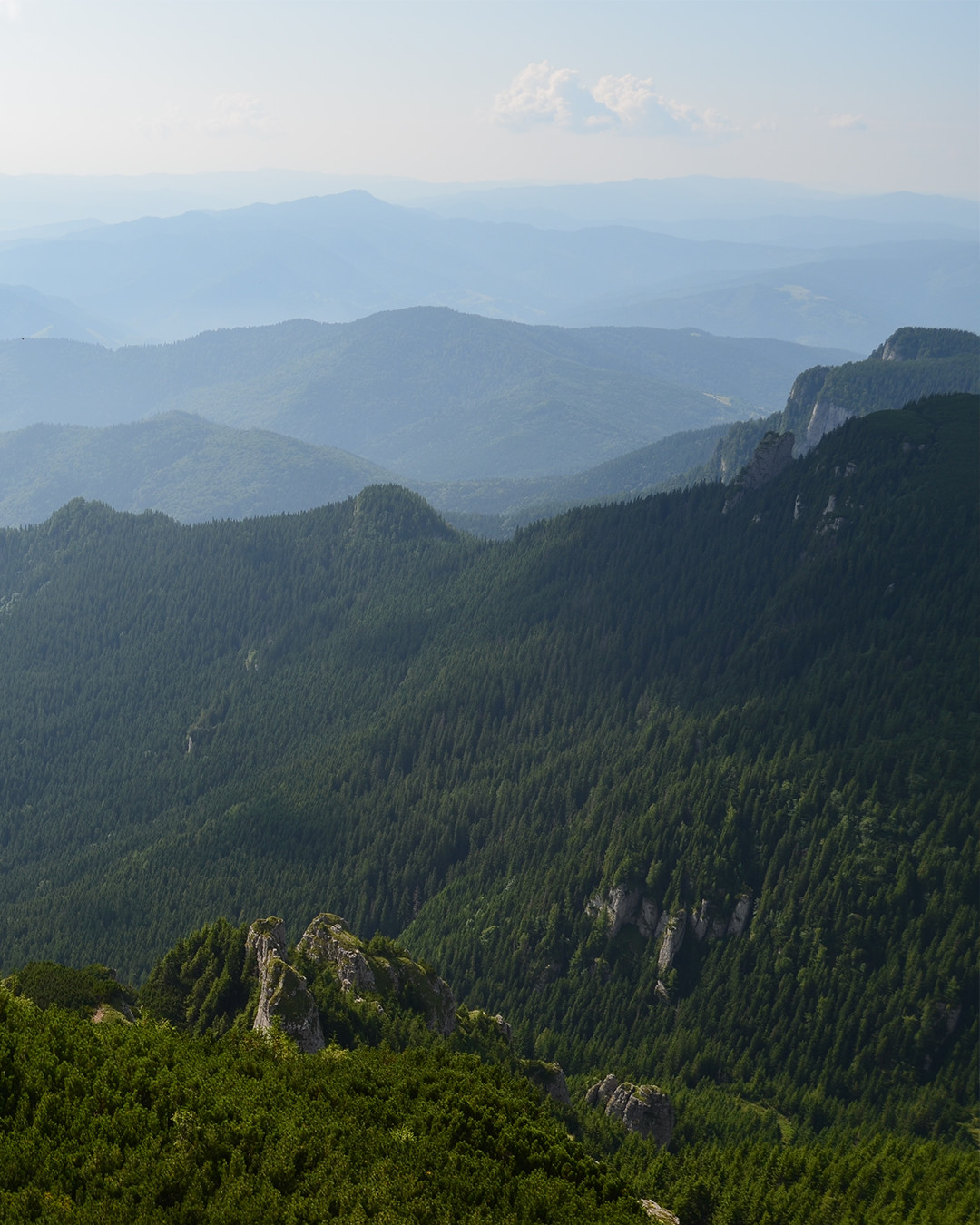
Ceahlău is situated in the north of Oriental Carpathians, the closest bigger city in this region being Piatra Neamț. The hiking tracks starts from two spots, the village Izvorul Muntelui and the mountain resort Durău. The trails are appropriate for people with a medium physical condition. The main attractions are:
- The Toaca Peak - the second highest peak of Ceahlău measuring 1904 meters on which trekkers can go by climbing on a long metallic stair.
- the rock formations such as “Clăile lui Miron", "Detunatele", "Piatra cu Apă", "Stânca Dochiei".
- the Dochia hut located at the altitude of 1750 meters.
- the Duruitoarea Waterfall.
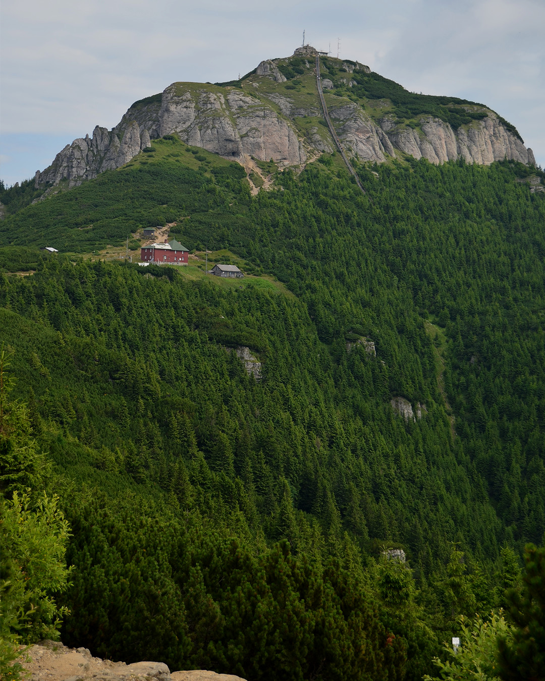
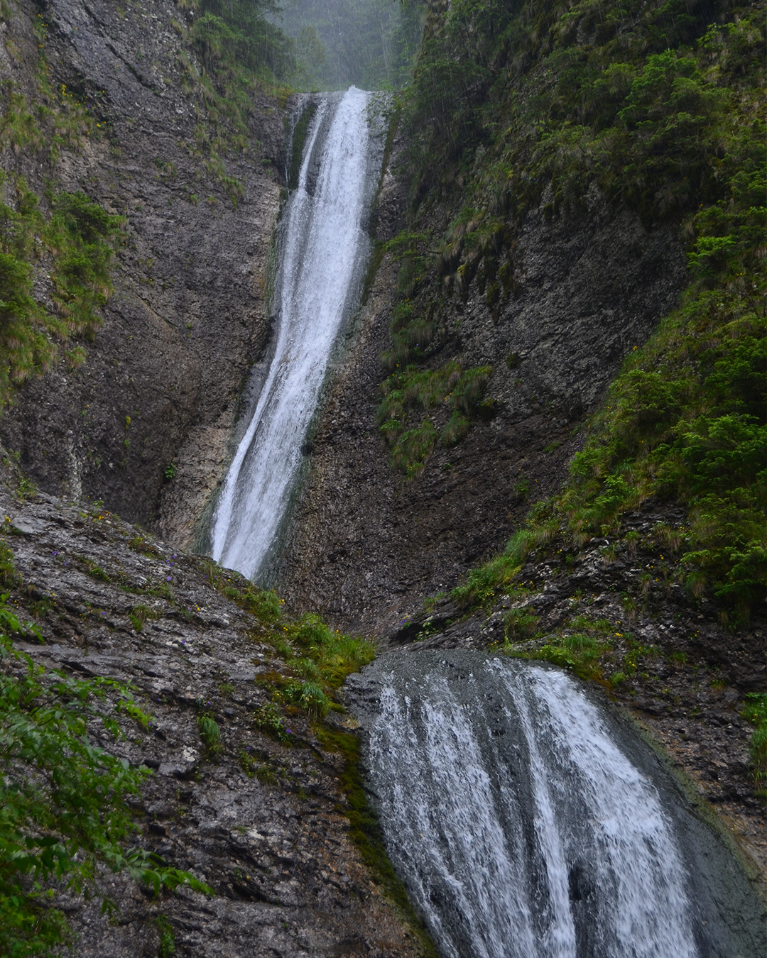
The highest peak is called Ocolașu Mare, but here the human access is prohibited because the are has become a scientific research reserve.
Ceahlău Mountain offers breathtaking landscapes. From the top of Toaca you can see countless layers of mountains. Ceahlău is also known for the weather phenomenon called "the alpine sea". Clouds are rising from the valleys creating a thick spectacular layer of it that is the most beautiful to watch at sunrise when the clouds are colored by the light of the sun.
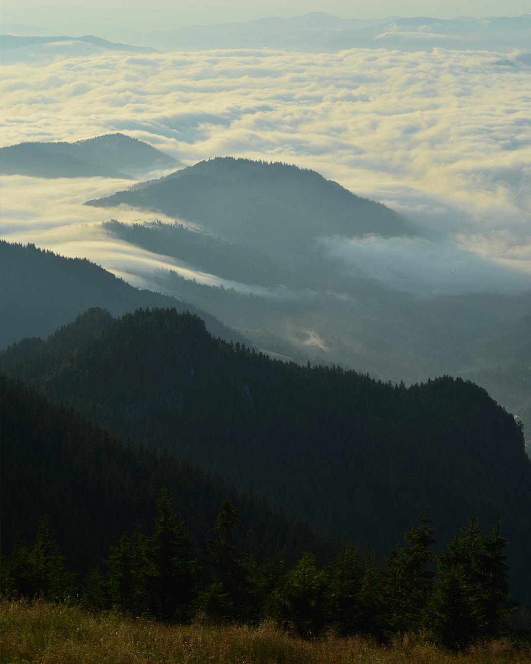
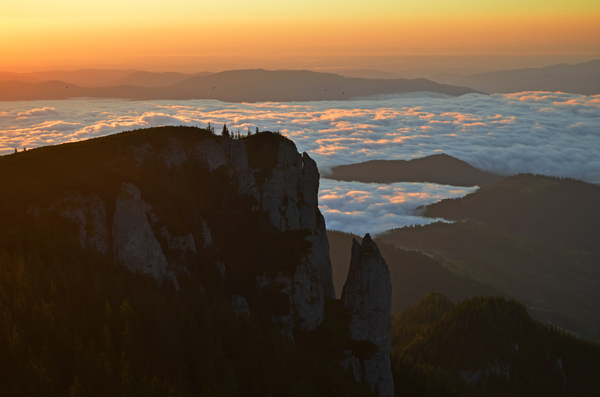
For the people who want to know more about these mountains, I have wrote a long article about my summer adventure in Ceahlău in which I offer helpful information about the hiking trails and many more.
From the crowdest Bucharest to the middle of nature
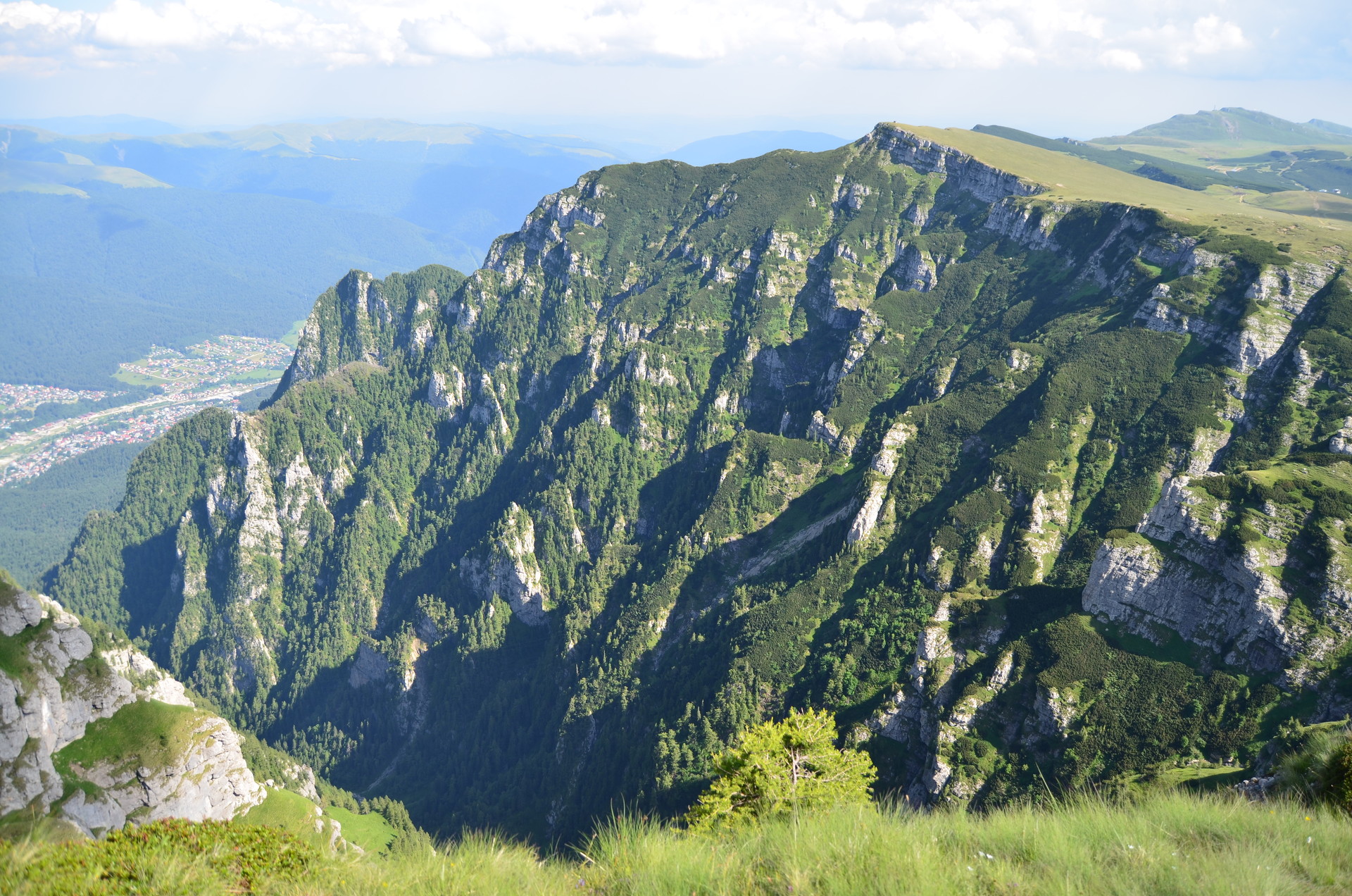
People from Bucharest can get away from the busy capital very easily and fast. For the students, the best option is taking a train from Gara de Nord to one of the mountain cities from Prahova Valley such as Sinaia, Bușteni, Azuga, Predeal. The journey takes about 2 hours.
There are many hiking tracks starting from the cities listed above suitable for people with different physical condition, from tracks with a slight difficulty to tracks with an advanced degree of difficulty and climbing routes known only by brave alpinists.
Besides the hiking trails, people can go up the mountains by using cable cars, which I don’t recommend if you truly want to enjoy nature.
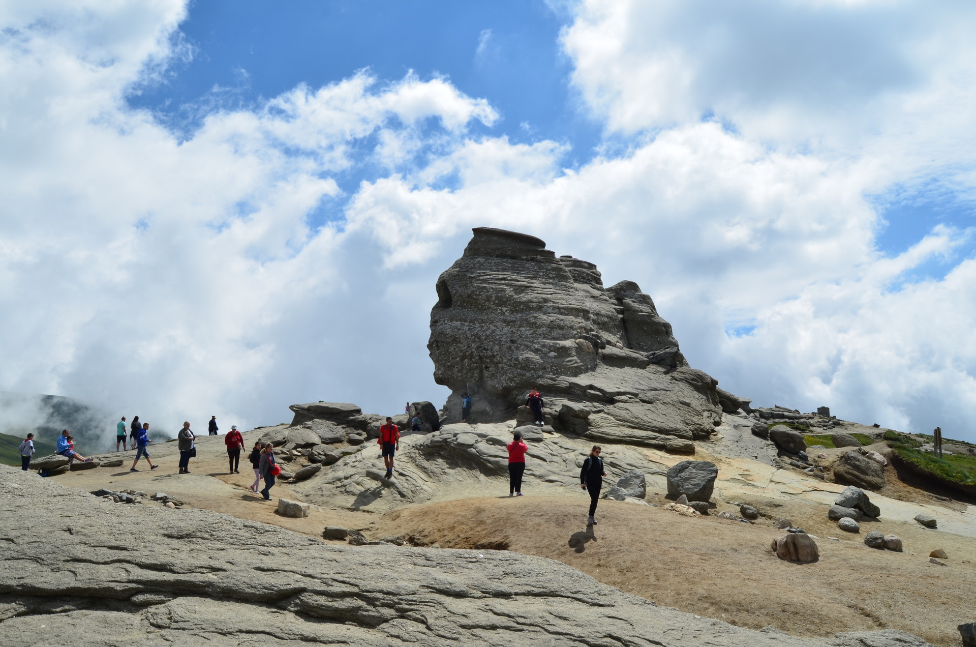
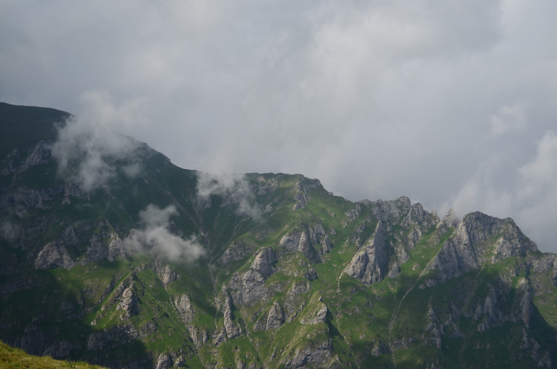
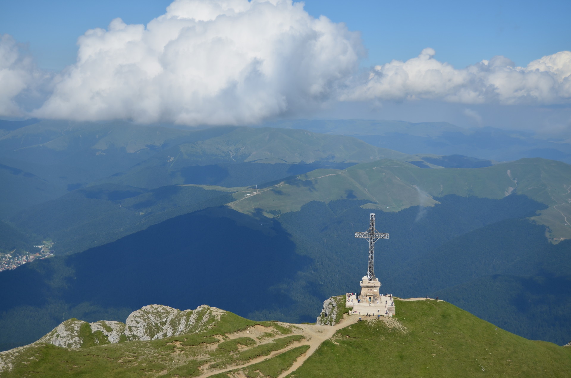
A few of the main attractions in Bucegi Mountains are:
- the rock formations "Babele" ( The old ladies ) and "Sfinx".
- the Omu peak - the highest peak of Bucegi with an altitude of 2507 meters, the peak also being the 6th highest peak from Romania’s mountains having a hut with the same name.
- the Cross of the heroes of the nation - visible many near points and located on Mount Caraiman.
- Urlătoarea Waterfall - a tourist attraction that can be access in 30 minutes from Bușteni.
- Ialomița Cave - placed at the altitude of 1660 meters in Mount Bătrâna, the cave has a length of 480 meters of which tourists can visit 400 meters and enjoy the spectacular landscape of the cave.
All of the above are just a glimpse of what Bucegi Mountains have to offer. The listed destinations are the most common ones, frequented by many tourists so the people who want to feel like they are in the middle of nature should chose the hiking tracks that bypass these places.
In Bucegi mountains, there are a lot of official hiking tracks to pick from. My favorite one starts from Gura Diham and finishes at the Mălăiești hut. The path meets various beautiful places such as Poiana Izvoarelor (the meadow of springs), The meadow Pichetul Roșu, The Bucșoiu Valley where the landscape literally takes your breath away when you when you look up at the gigantic, high and steep cliffs climbed only by the bravest men and the black goats, the spot called "La Prepeleac" where you encounter an enormous rock and from which starts the "Take Ionescu path"- a narrow track with exposed areas a little difficult to cross that goes down to the famous, but still not so known, Mălăiești Hut.
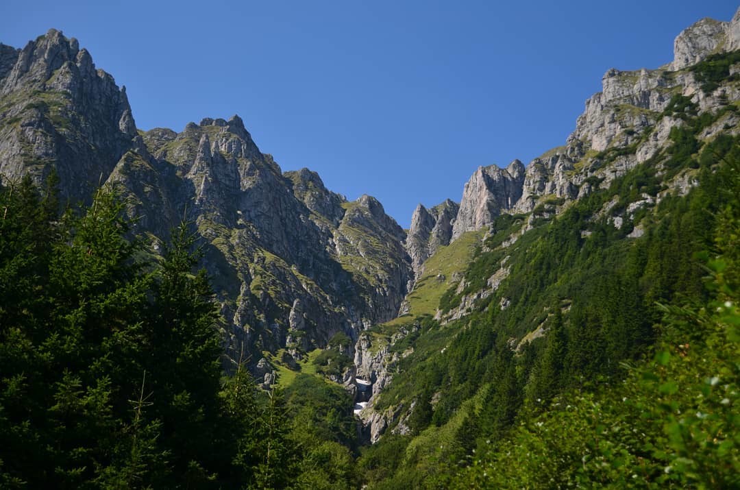
In the glacier Valley of Mălăiești, you feel protected being surrounded by mountains. In each direction you look there is a mountain cliff. The rocky formations "Hornurile Mălăiești" ( "The chimneys of Mălăiești" ) stand out and dominated the landscape. The Mălăiești Hut is located at an altitude of 1720 meters and can accommodate up to 100 people.
Conclusion
The romanian mountains are indeed full of wonderful places. The eco-tourism is still in a growing process so nothing is perfect by far. I believe that Romania, with the good and the bad, can learn how to make sustainable tourism in the most beautiful territories that the country has: The Mountains.
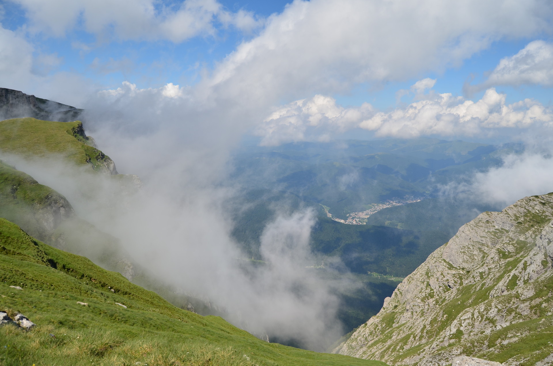
Photo gallery
Content available in other languages
Want to have your own Erasmus blog?
If you are experiencing living abroad, you're an avid traveller or want to promote the city where you live... create your own blog and share your adventures!
I want to create my Erasmus blog! →


Comments (0 comments)