Being above 2500 meters in Romania
Being above 2500 meters in Romania
As you can notice from all of my previous articles, I really enjoy to write and to give people information about the mountains of Romania because in my opinion the most beautiful and worth seeing destinations in my country are these incredible places.
The heighest points of a carpathian country: is it possible to get up there?
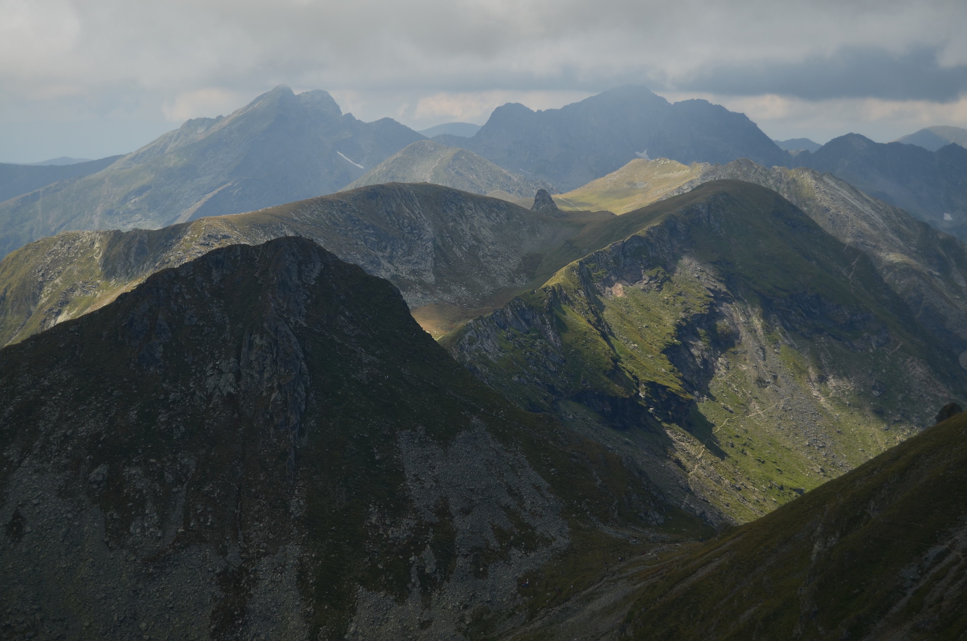
Today I am going to remember a mountain trip that got me above the altitude of 2500 meters, on one of the highest peaks of Romania. If you didn’t knew before, now you will find out that the highest point of the country is reached in the Făgăraș Mountains at the most, let’s say famous, peak of the massif named Moldoveanu, where the Carpathians are raising up at the altitude of 2544 meters.
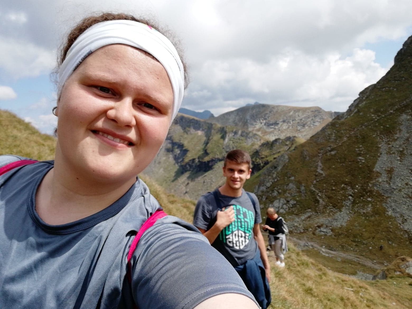
Climbing such peak might sound like a great achievement, but at the same time, people should take in consideration the fact that participating in adventures like this takes a lot of knowledge, practice, experience, an appropriate equipment depending on the season outside and so on, thus, beofre embarking on a mountain trip I always recommend to everybody to just inform themselves about everything that’s connected with the area they want to hike through.
Reaching altitudes of over 2500 meters by following a path that is also suitable for beginners to intermediate hikers
I’ve never climbed the highest point of Romania because I didn’t have the chance and, at the same time, I really don’t feel prepared entirely for the journey up there. However, following others hikers trips and experience, I found out about a peak that has over 2500 meters and which could be reached in approximately 2 hours.
Plus, the Făgăraș Mountains don’t look so familiar to me because I haven’t done many hiking trips in the region before, thus, this particular hiking route that I am going to talk about happened to be a good and much needed introduction into the specific landscape of these unique mountains and also into their challenges and characteristics.
The Făgăraș mountains are not for everybody! Pay attention before embarking on a foot path!
Regarding to what I’ve just said, that’s probably the main reason why I decided to share this experience because I thought and I’ve also heard that there are many tourists who are attracted by the most famous mountains in Romania and want to climb it due to that, but at the same time, a good majority of the visitors don’t know actually where to start or how is better and safe to begin exploring the Făgăraș Mountains and because of this, many go on routes that are too difficult for their preparation, a fact that can endanger their lives of course.
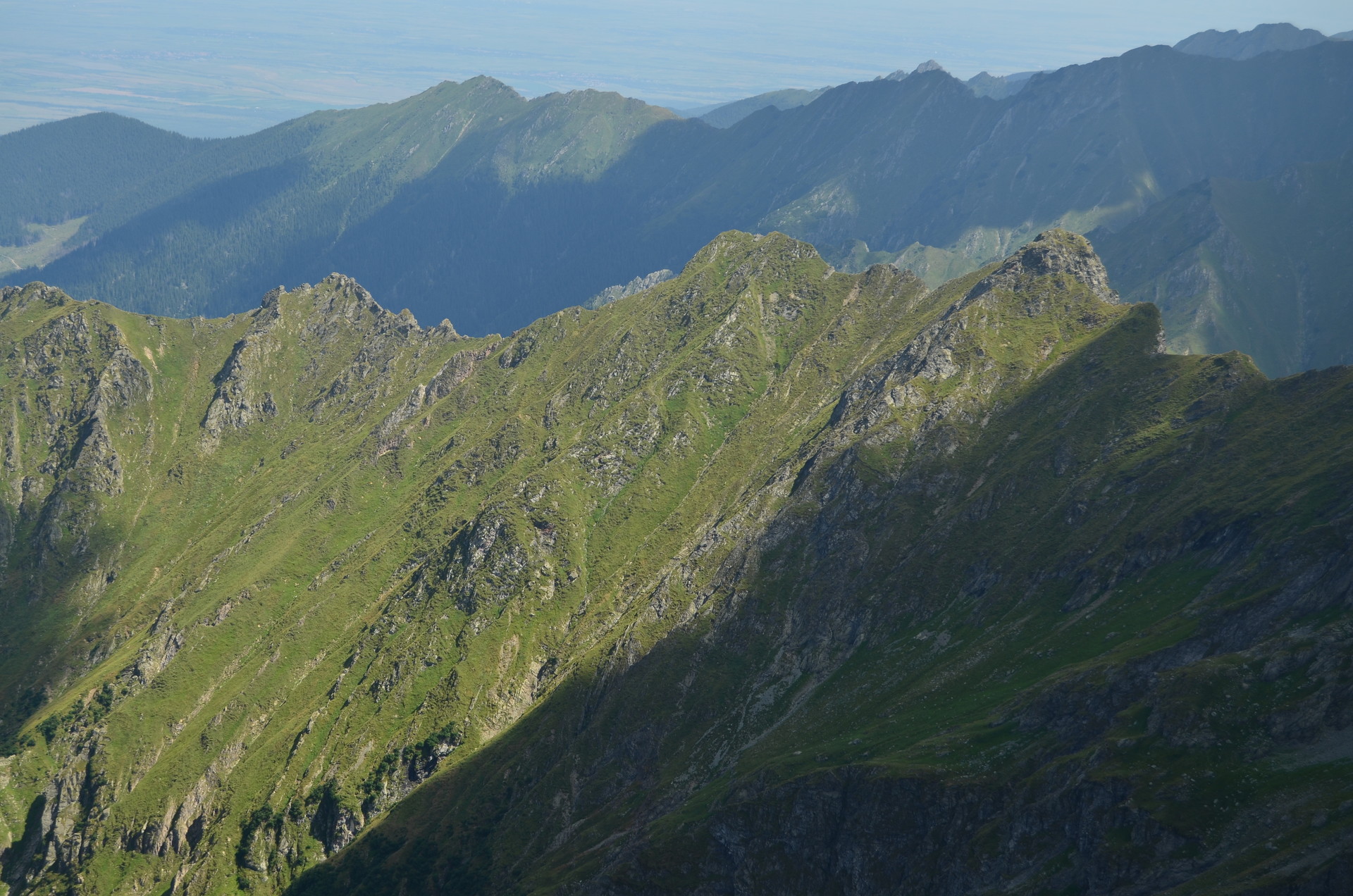
Certainly, the mountain peak that we will enjoy climbing today is named “Vânătarea lui Buteanu”, a title that I really don’t know how to translate into English, but which reaches the altitude of 2507 meters.
Bâlea lake and Transfăgărășan, probably the most known natural attraction of Romania
The starting point of the hiking route is positioned at Bâlea lake, which is also one of the main tourist attraction of the Făgăraș Mountains. The access to this place is made by the most famous road in Romania, namely the Transfăgărășan.
In the summer time, the easiest way to get here – to Bâlea lake – is with a personal car or with the buses which are doing transports in the area. On the other hand, in winter time, things are getting a little bit complicated because of the very high layers of snow and rough weather conditions, the road is completely closed and forbidden to access, another meaning of transportation that can get people up to the lake being the cable car which is located near the Bâlea Waterfall.
Fortunately, when I get the opportunity to explore these mountains, is summer outside, so as we are heading towards the starting point of the hiking route, there are no problems with the road. By the way, we are coming here from Sibiu and we will cross the mountains on the north to south direction.People can do the other way around too, in this case, the city from where you begin, being Curtea de Arges.
Finding the indicator announcing us the path which is to be followed: lets start the adventure!
We arrive at Bâlea lake and cannot wait to hit the foot path because the area around the lake is just very crowded and with lots of people and parked cars, thus, we cannot actually feel and totally enjoy the beauty of the mountain in this place. Soon, we discover what we have been looking for and that’s the indicator showing us the direction to follow towards a first place called Șaua Caprei and then to Vânătarea lui Buteanu peak.
Being guided by the blue triangle mark, we start descending the mountain and leaving behind the lake. I mention now, that we start at an altitude of approximately 2000 meters and have to climb 500 meters up.
I mention here as a recommendation for future travellers who want to explore the mountains of Romania, to also use for guiding the app named Munții noștri, which should be installed on your phone before the climb starts. Whenever I go hiking, I am using the maps provided by this app and I am really content with its features and help.
Getting up on a steep and rocky terrain
Since the beginning, the terrain proves to be very steep and not easily to climb because of the many little rocks. Speaking of that, the Făgăraș Mountains are defined by this particular relief of the glacial rocks. Although, we have to constantly keep our attention awake to where we are stepping on to not unbalance ourselves, our eyes are always attracted by the views we leave behind or by those which are opening up ahead. As we climb above, Lake Bâlea appears increasingly spectacularin its glacial valley, and the mountains around it are more and more visible and also numerous.
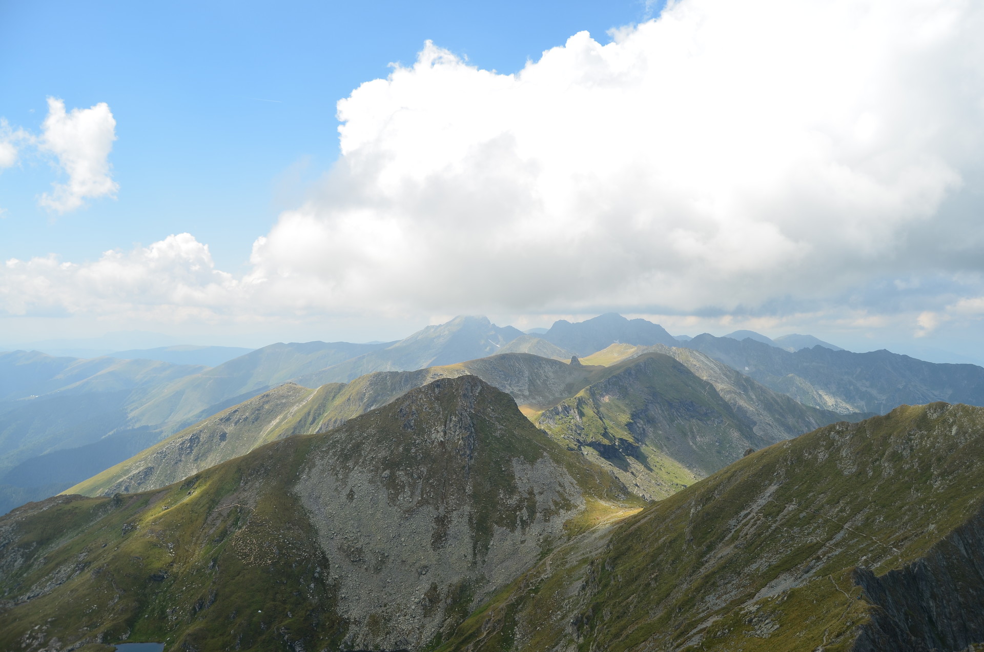
Taking a break in Șaua Caprei
After about an hour of climbing and admiring the landscapes that are more attractive and pleasing, we reach Saua Capra, where we do, of course, a well deserved break for catching our breath. We have some snacks too that will give us the energy needed for the portion of the route which is just about to start from this point of the trail.
We really don’t have to rush, there is plenty of time to go up there, so we just take things very slowly and continue to wonder around and appreciate the stunning rock formations of the region. The beauty that exists in nature is simply speechless.
The fascinating Capra lake
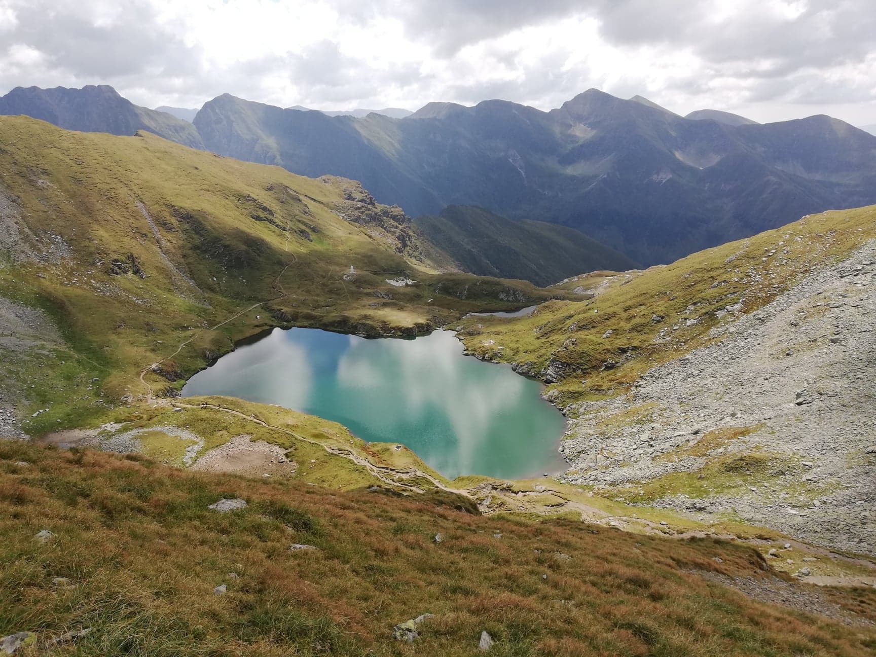
When the snack break is over, we continue on the trail, but this time the tourist marking that we have to follow is symbolized with a blue cross. Nearby we stumble across another impressive lake named Capra, translated in English as the Goat. Again, the views with the green-blue water of the lake in the foreground and the high rocky mountains in the background is completely awesome and breath taking.
We stop so many times to take lots of photographs and watch far in the distance the highest altitudes of Romania. It seems like Capra lake is much more beautiful than the Bâlea Lake.
Personally, I don’t know if I should pay more attention to where I step or to the mesmerizing turquoise lake. The portion of the trail between Șaua Capra and Vânătoarea lui Buteanu peakis not so steep as the first part of the hiking route, but rather much more pleasant to walk on, offering gorgeous landscapes at every single step.
Seeing the tallest peaks of Romania: the group Moldoveanu-Viștea Mare
Maybe you can remember that at the beginning of this article I was writing about the highest peak of Romania, well guess what, because of the good weather I get the lovely opportunity to also see the Moldoveanu peak, which is shaping up far in the distance, in the last layer of mountains, alongside with its "friend", Viștea Marea -
the third highest peak.
This is my first time when I get the beautiful chance to admire the so well known peak and I am totally overwhelmed by the experience even if I am not actually climbing it, but just observing it from quite far away.
How many ridges the Făgăraș Mountains have?
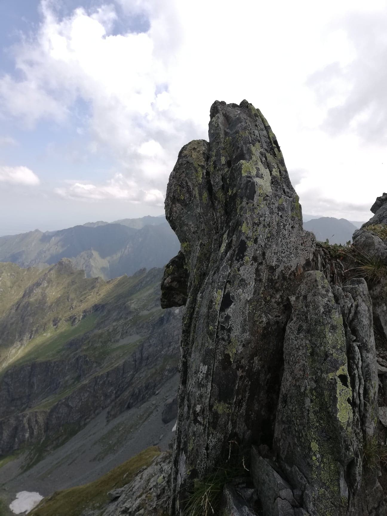
As I am getting closer to Vânătarea lui Buteanu, the terrain gets steeper again and a bit challenging to climb. If somebody is afraid of heights, will have same problems during this hiking route because I notice that same areas are really exposed as the foot path goes near rocky ridges. By the way, speaking of ridges, there are so many here, everwhere I look, I see very steep and sharp mountain ridges, but which are always getting distinguished in the landscape by their various and curious shapes.
To climb or not to climb Vânătarea lui Buteanu peak?
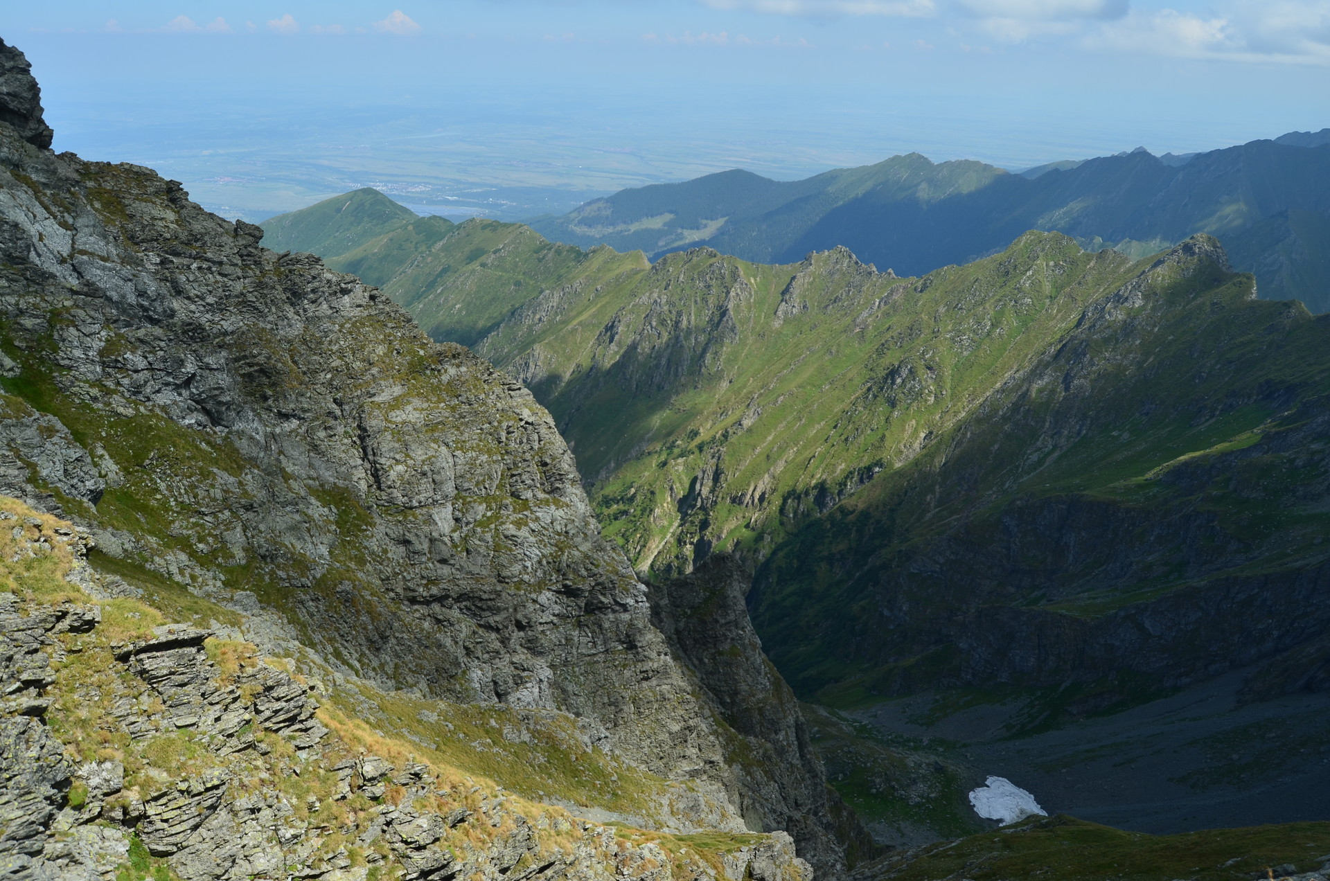
Finally, the peak appears and the hiking route directs me towards it. However, the last portion of it seems to be very difficult and also dangerous to climb where people have to escalated carefullythrough a very inclined relief of rocks. When I reach this point, I don't know why but I get a bit scared and don't have the necessary guts to continue ahead and climb the peak.
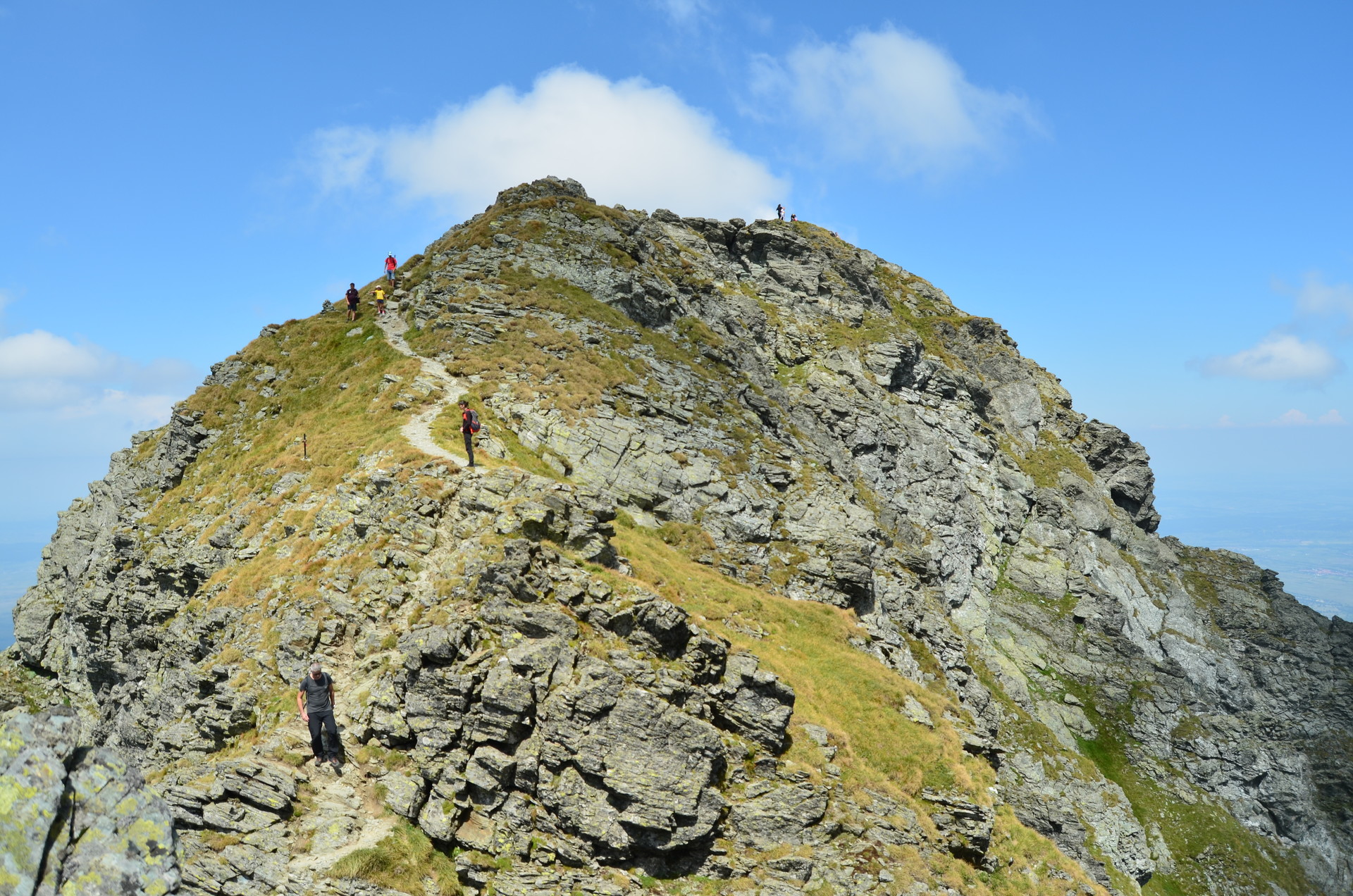
Somehow, it seems to dangerous to do it and I am afraid that I might fall into the deep opening. The other members of my family feel the same too, thus we decide to stop around this place and take another rest for catching a breath, looking at the amazing landscapes and eat same sweet snacks.
How can somebody get enough of these charming and mighty views?Getting back
After spending sometime at an altitude above 2500 meters, very near the Vânătarea lui Buteanu peak, we have to descend back the mountain of course. We start on the hiking route that got us up here, but very soon we are turning right and enter on another path marked this time with a blue circle. In the beginning, the terrain is extremly steep and troublesome to hike on due to the high inclination and to the unstable rocks that, from here and there, are slippering beneath our feet.
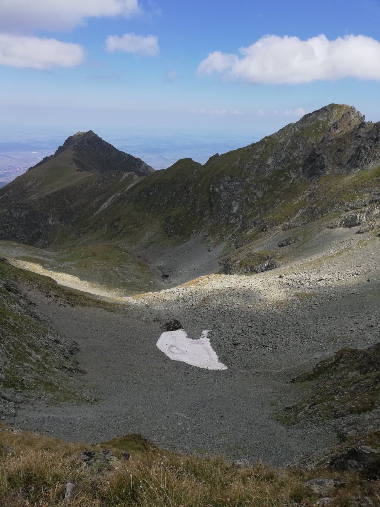
The Văiuga glacier valley
The valley throughout which we are going down the mountain is called "Căldarea Văiuga" and in this part of the mountain, even if is basically summer outside, we also have to walk on parts of the route that are still covered by a layer of snow. Plus, we observe a few black goats that do not seem to have problems with the steep relief. Good for them, but not so good for us, but in the end we make it through the rough fragments of the hiking route.
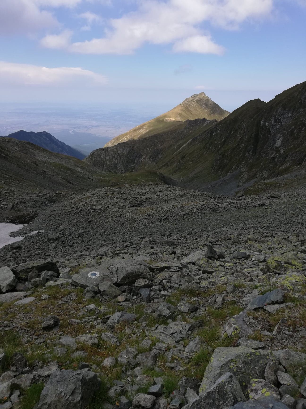
After we cross the entire Văiuga glacier valley, we change the blue circle tourist mark with the blue stripe mark and we also start to notice the Transfăgărășan road and, as we keep advancing forward, the Bâlea Lake gets visible too. Thus, we are soon back to where we have started at the beginning of the day.
Everybody gets back safe and with a lot of beautiful places remained in themselves.
Photo gallery
Want to have your own Erasmus blog?
If you are experiencing living abroad, you're an avid traveller or want to promote the city where you live... create your own blog and share your adventures!
I want to create my Erasmus blog! →


Comments (0 comments)